-
-
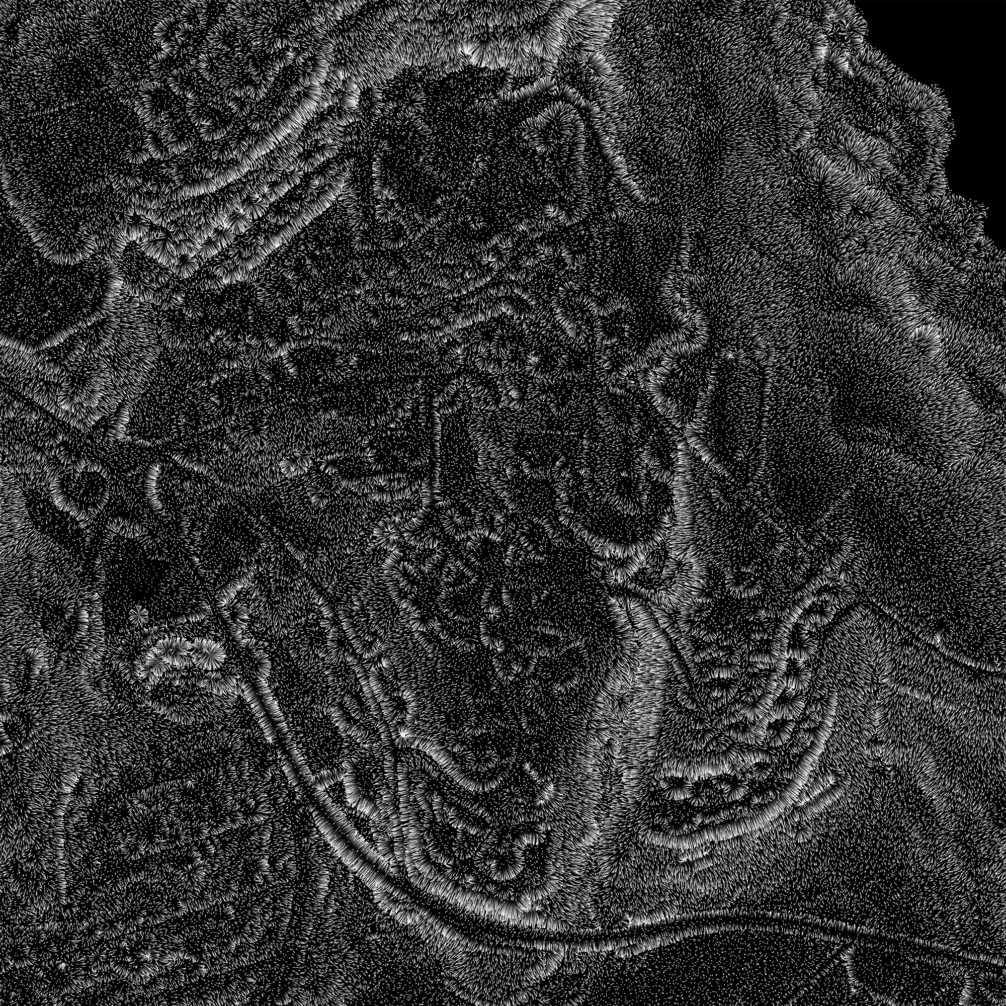
Detail of drawing
-
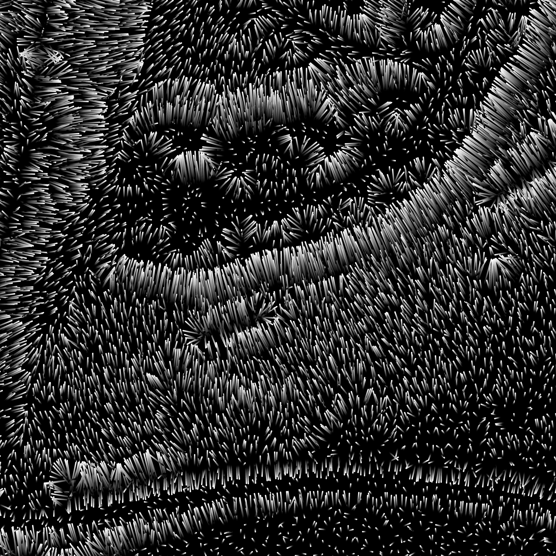
Terrain used to create the drawing.

-
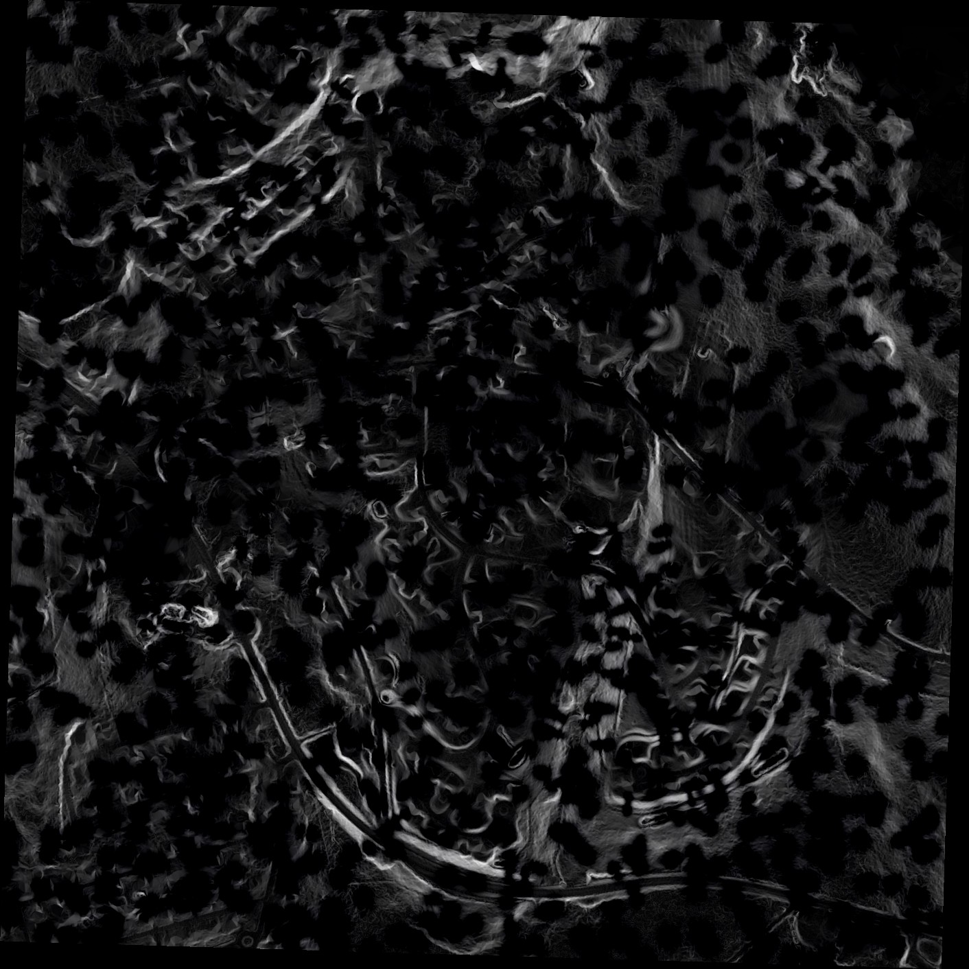
Slope map registering locations of drawn lines.
The ubiquitous American suburbia was the starting point for an investigation into alternative understandings of community living. In stark contrast to the typical sprawl, the new community will be rooted in the land and responsive to its environment. A mapping of water flows on the site aided an understanding of the local natural processes in order to design with them.
The map takes a cue from vector fields, which in mathematics represent a directional field condition across two-dimensional space. The starting point was a raster heightmap of the site. First slope and direction fields were generated in GIS software. Then a processing script drew the lines sequentially, simultaneously blotting out the slope map in order to mark where it had been. In areas of steeper slope, the blots were smaller, thus allowing for higher density. When the slope map is entirely erased, the desired density has been achieved in each location. The resulting drawing denotes increased flow and slope with higher densities and longer lines.